Atlanta News
TOP ATLANTA STORIES
BREAKING NEWS
Lightstone Group Launches Foreclosure on 2000 RiverEdge Place
News Summary In a major shift in the Atlanta real estate market, the New York-based Lightstone Group has initiated foreclosure proceedings for the curved glass office tower at 2000 RiverEdge...
Missing Atlanta Teacher Found Dead in Lake Oconee
News Summary The body of Gary Jones, a respected Atlanta teacher, was found in Lake Oconee on March 9, 2025, one month after he and his fiancée Joycelyn Wilson went...
Two Men Hospitalized After Shooting at Motorcycle Shop in Atlanta
News Summary Atlanta is on high alert following a shooting incident on Saturday afternoon at a motorcycle shop on Whitehall Street. Two men, aged 25 and 19, were injured, suffering...
Atlanta Police Investigate Two Separate Shooting Incidents
News Summary The Atlanta Police Department is investigating two shooting incidents that occurred recently, one involving two victims with gunshot wounds and the other involving an individual shot in Little...
Warrant Issued for Officer Accused of Vandalizing Tents
News Summary Atlanta authorities have issued a warrant for security officer Danielle Barnett, accused of vandalizing tents of unhoused residents in Northeast Atlanta. The incident, captured on video, has raised...
Atlanta Man Arrested After Barricading Himself with Two Bodies
News Summary In a shocking incident in Atlanta, Neil Russell, 44, was arrested after he barricaded himself with two bodies in an apartment, holding a woman hostage. The police were...
BUSINESS
Business Profile: Sinclair Construction Group
Sinclair Construction Group has been recognized as one of the premier concrete contracting companies in Georgia’s private and public sectors for a decade. Quality workmanship, commitment to safety, and customer satisfaction...
The 10 Best SEO Companies In Atlanta, GA
Are you a business owner in the Atlanta, GA looking for a reliable SEO company to help increase your online visibility and drive organic traffic to your site? Ranking at...
Events/What's Happening
Atlanta Attractions Enhance Accessibility for All Visitors
News Summary Atlanta is transforming its accessibility landscape for neurodiverse visitors through various sensory-friendly programs at attractions. Participating locations like the Braves’ Truist Park and local museums are introducing inclusive...
Celebrating Women Veterans at the 10th Annual Legislative Breakfast
News Summary The 10th Annual Women Veterans Legislative Breakfast took place at the Georgia Freight Depot, honoring female service members. Lawmakers and attendees discussed critical issues such as healthcare, housing,...
Seattle to Kick Off Foster the People’s 2025 Tour
News Summary Foster the People is set to launch their highly anticipated ‘Paradise State of Mind Tour’ in Seattle on January 25, 2025. This tour will showcase their new album...
RnB Block Party Coming to Underground Atlanta
News Summary Atlanta is set to host the RnB Block Party on March 15, 2025, at Underground Atlanta. The event promises a day filled with soulful music, delicious food, and...
Atlanta Women Commemorate 60th Anniversary of Bloody Sunday
News Summary A group from Atlanta is honoring the 60th anniversary of Bloody Sunday by retracing the steps of civil rights activists who marched from Selma to Montgomery. This journey...
College Park’s Together We Thrive Event Supports Local Families
News Summary On March 7, College Park held the Together We Thrive Feeding Hope event at Keith James Auditorium to support residents facing economic challenges. Sponsored by organizations like Amazon...
Atlanta Jewish Film Festival Concludes with Brazilian Dramedy
News Summary The 25th Annual Atlanta Jewish Film Festival wrapped up on March 5, 2025, featuring its Closing Night celebration at Byers Theatre. Attendees enjoyed the North American premiere of...
FuelFest 2025 Returns to Atlanta with 800 Cars
News Summary FuelFest 2025 is set to take place in Atlanta on April 19, featuring over 800 vehicles and live entertainment. Attendees can enjoy drift sessions, celebrity appearances, and the...
Atlanta’s African Film Festival to Showcase New Cinema
News Summary The 4th edition of the African Film Festival Atlanta (AFFATL) will take place from March 13 to 17, 2025, celebrating African cinema. This year’s theme highlights the Nollywood...
CRIME
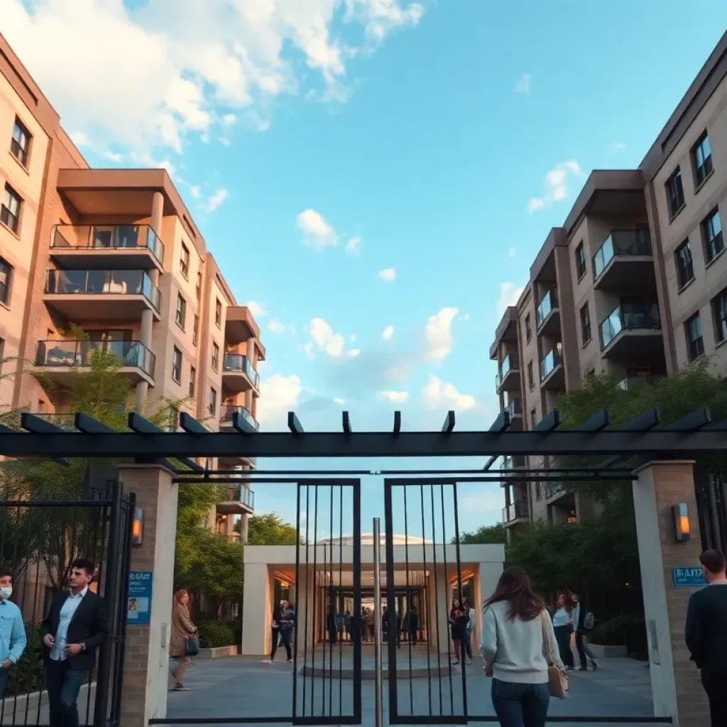
Atlanta Residents Demand Better Security in Luxury Apartments
News Summary Residents of LaFrance Square Luxury Apartments in Atlanta are voicing their concerns over safety following multiple car thefts and a gunfight. With rents exceeding $4,000 a month, tenants...
Atlanta Airport Car Theft Surge: A Concern for Travelers
News Summary Atlanta’s Hartsfield-Jackson International Airport is experiencing a troubling surge in car thefts, with over 300 vehicles reported stolen in 2024. This marks a significant increase compared to last...
Brotherly Love Turns Dangerous Over Video Game in Atlanta
News Summary A sibling rivalry in Atlanta escalated into violence when a 14-year-old allegedly stabbed his older brother during a video game dispute. The incident occurred early Saturday morning and...
Authorities Search for Kmauri Burnett in Atlanta
News Summary Authorities in Atlanta are intensifying their search for suspect Kmauri Burnett, linked to two murders and a vehicle hijacking. The investigation began with a carjacking on January 7,...
Atlanta’s Streets Witness Another Arrest: Marcel Pierre Grant
News Summary Marcel Pierre Grant, a Jamaican citizen with a long history of criminal activity, was recently arrested in Atlanta by the U.S. Marshals. His past includes serious offenses such...
Multiple Stabbings Prompt Community Concern in Atlanta
News Summary Atlanta is on high alert following several disturbing stabbing incidents that have left residents uneasy. Police have responded to multiple stabbings, including attacks involving an off-duty officer. The...
POLITICS
Warrant Issued for Officer Accused of Vandalizing Tents
News Summary Atlanta authorities have issued a warrant for security officer Danielle Barnett, accused of vandalizing tents of unhoused residents in Northeast Atlanta. The incident, captured on video, has raised...
SBA Moves Offices from Sanctuary Cities Amid Policy Shift
News Summary The Small Business Administration (SBA) plans to relocate six regional offices from cities classified as ‘sanctuary cities’, including Atlanta and New York City. This move aligns with the...
Matthew Judon’s Future with Atlanta Falcons Uncertain
News Summary Matthew Judon’s future with the Atlanta Falcons is in jeopardy after a disappointing season. The four-time Pro Bowler struggled to meet expectations, finishing with only 5.5 sacks. Changes...
Governor Signs Amended Budget for Georgia
News Summary Georgia Governor Brian Kemp has signed a $40.5 billion amended budget for 2025, focusing on hurricane recovery, tax rebates, and improving safety measures. Key highlights include $862 million...
Atlanta’s Housing Hurdles: Low Credit Scores Lock Out Many Residents
News Summary Atlanta is facing a housing crisis exacerbated by low credit scores among residents, with a median score of just 625. As affordable housing becomes available, many individuals are...
Atlanta Congresswoman Protests Trump’s Address
News Summary During President Trump’s address to Congress, Atlanta Congresswoman Nikema Williams led a walkout with fellow Democrats to protest proposed cuts to public services. Their action aimed to emphasize...
Atlanta’s Economic Mobility Crisis Raises Concerns
News Summary Atlanta’s economic mobility ranks last among major US cities, according to a study by Harvard. Community leaders emphasize the need for collaboration to address income disparities and systemic...
Federal Workers’ Concerns Rise at Atlanta Press Conference
News Summary During a recent press conference in Atlanta, U.S. Representative Nikema Williams expressed her support for federal workers affected by budget cuts initiated by previous administrations. The gathering highlighted...
Changes in Atlanta’s City Council Membership
News Summary Atlanta’s City Council faces significant changes as three members, including Marci Collier Overstreet, Amir Farokhi, and Howard Shook, announce their departures. Overstreet is set to run for Council...
SPORTS
Matthew Judon’s Future with Atlanta Falcons Uncertain
News Summary Matthew Judon’s future with the Atlanta Falcons is in jeopardy after a disappointing season. The four-time Pro Bowler struggled to meet expectations, finishing with only 5.5 sacks. Changes...
Severe Storms Forecasted for Georgia This Week
News Summary Georgia residents should brace for severe storms starting Tuesday, with wind gusts potentially reaching 80 mph and warnings for tornadoes and hail. Areas like Savannah and metro Atlanta...
Severe Storms Wreak Havoc in Metro Atlanta and Southeastern States
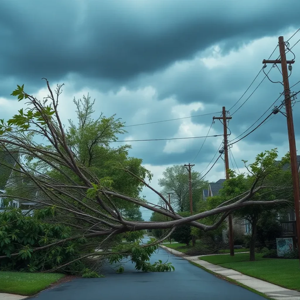
News Summary Early Sunday morning, severe storms struck Atlanta, causing extensive damage and resulting in one fatality when a tree fell on a home. Wind gusts reached 69 mph, impacting...
Georgia Gears Up After Extension Denied for Hurricane Helene Aid
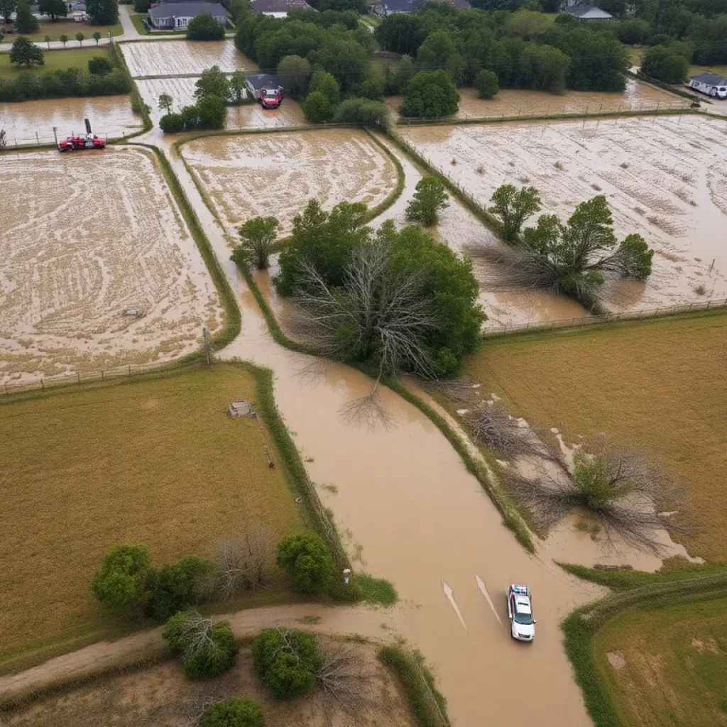
News Summary The denial of a federal extension for disaster aid following Hurricane Helene leaves Georgia local governments in a challenging situation. With over $5 billion in damages and significant...
EF-1 Tornado Rips Through Butts County: Significant Storm Damage Reported
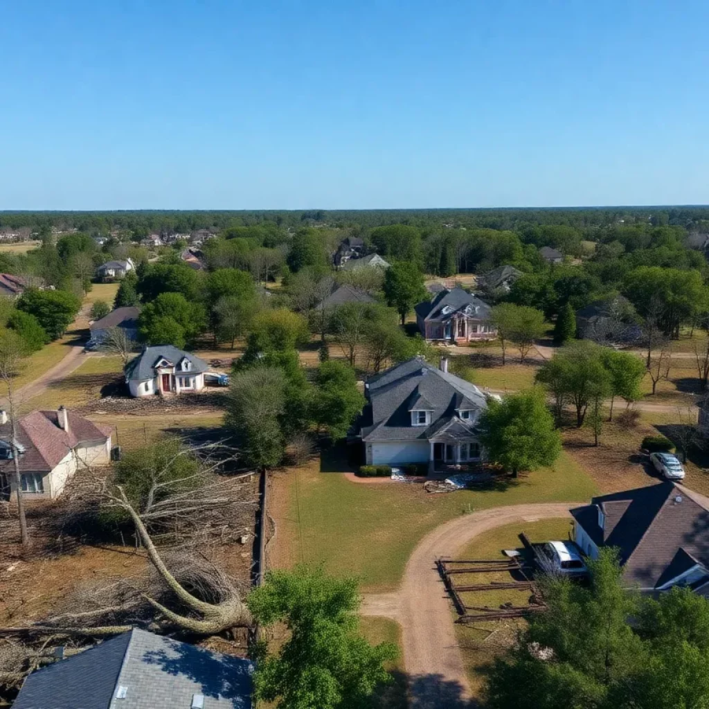
News Summary An EF-1 tornado hit Butts County early Sunday, causing severe damage with winds up to 105 mph. The tornado’s 7.1-mile path impacted nearby areas, leading to multiple storm-related...
Severe Storms Cause Destruction in Metro Atlanta
News Summary Metro Atlanta experienced severe storms early Sunday, bringing heavy rains and destructive winds. Two tornadoes were confirmed, resulting in tragic incidents, widespread power outages, and significant damage to...
Churches in Georgia Cancel Services Due to Winter Storm
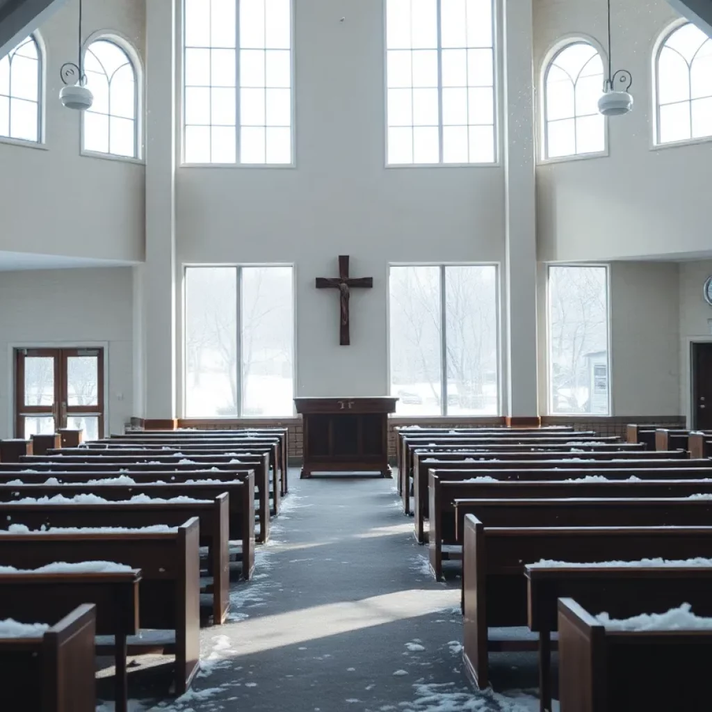
News Summary In response to the aftermath of a winter storm, multiple churches across Georgia have canceled their services and activities for safety. Various congregations, including Zoe Baptist Church and...
Winter Storm Hits Metro Atlanta Hard
News Summary A significant winter storm has affected Metro Atlanta, leaving behind snow and icy conditions. With snowfall ranging from half an inch to 3 inches, drivers are facing treacherous...
Winter Storm Blankets Georgia, Disrupting Daily Life
News Summary Georgia is facing a significant winter storm, the largest since 2018, bringing snowfall and icy conditions, particularly in metro Atlanta where travel disruptions and power outages are expected....


